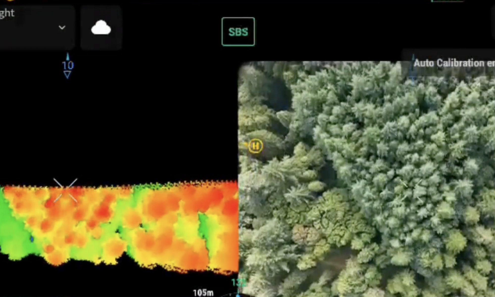
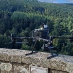
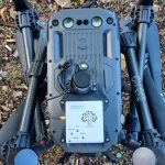
DigiMedFor continues its journey incessantly. Once all the necessary tools had been acquired, the first tests were carried out in the Pilot 1 site (Model Forest) within the wooded area located in Vallombrosa (FI). After the acquisition of the tools (drones, LIDAR systems, scanners and RFID readers), the work developed through 3 main phases
- Forest mapping: a drone equipped with LiDAR technology maps forest areas to estimate wood volumes before and after felling operations, providing precise data for sustainable management
- Geolocating trees:In this phase, advanced tools are used to precisely geolocate trees, capturing vital data on diameter, height and canopy projection. This data helps create a digital twin to model forest growth and dynamics
-
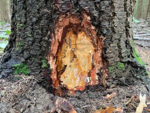
Traceability of Timber with RFID Tags:RFID tags are applied to the base of trees to track the trunks from cutting to processing. This system guarantees complete traceability of wood resources, promoting responsible and transparent forest management
During the execution of the three phases, a video was shot that explains in a practical way how the work evolves step by step. The video shot can be consulted at the following address

